dailynewsnblog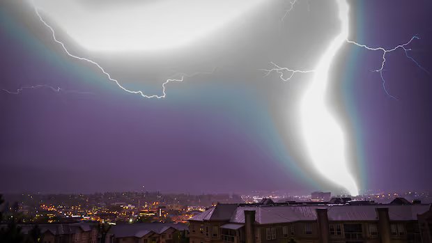

Listen to this article
Estimated 2 minutes
The audio version of this article is generated by AI-based technology. Mispronunciations can occur. We are working with our partners to continually review and improve the results.
The B.C. Wildfire Service has warned that this week could be a crucial period for firefighters in the province as conditions converge to create what director of wildfire operations Cliff Chapman calls a “significant wildfire event.”
Chapman says the phenomenon of dry lightning is “highly concerning,” and combined with parched conditions and high winds, it could be associated with up to 150 fire starts in a day.
As of Wednesday morning, British Columbia had a total of about 20 active fires.
Here’s an explanation about dry lightning and why it’s now of such concern.

To date this fire season in B.C. has been mostly manageable, but that could change over the next 48 hours. As the CBC’s Troy Charles reports, officials warn a significant wildfire event is on the way with hot temperatures, strong winds and dry lightning in the forecast.
What is dry lightning?
As the name suggests, dry lightning is associated with little or no precipitation. Chapman says that without moisture to inhibit fire growth, firefighters lose the time needed to respond in the early stages of a fire.
Natural Resources Canada says it can result in a destructive cycle — large fires can produce their own weather in the form of towering pyro-cumulonimbus clouds that often produce dry lightning.

Where and when is it expected?
Chapman says that the southeast third of the province can expect high winds and dry lightning “with very little or no precipitation” from Wednesday afternoon into Friday.
He says that means a “very high potential of wildfire starts and wildfire spreads” from what he calls a “swath of dry lightning.”
While lightning is also expected in the northeast of B.C., Chapman says fuels there are expected to be “less receptive” to fire starts.
How are firefighters preparing?
Chapman says the wildfire service has “all aviation assets engaged,” on alert and ready to respond to new starts.
He says crews are ready for “aggressive initial attack,” and that communities should prepare by having go-bags ready and evacuation procedures prepared.
The wildfire service says it uses Environment and Climate Change Canada’s Canadian Lightning Detection Network for an instantaneous supply of lightning data, while comparing it with other data to see if it is associated with rainfall.
Air and ground patrols in known lightning pathways then look for smoke or heat, using thermal scanning devices to find hot spots.