Commercial aviation is one of the most tightly regulated industries on Earth. Every flight level, navigation procedure, maintenance interval, and crew certification requirement is governed by an intricate network of international agreements and national regulations. Every day, thousands of jet airliners cruise across the Atlantic at 35,000 feet inside a legal framework that contains a remarkable contradiction: no one has ever fully agreed where sovereign airspace actually ends.
That creates a strange reality for modern aviation. A Boeing 777 crossing the North Atlantic or an Airbus A350 flying between Europe and Asia operates in a zone where international law becomes surprisingly vague. The deeper one looks into aviation law, the clearer it becomes that some of the world’s busiest flight corridors are governed less by precise legal definition and more by decades of operational compromise. The system works extraordinarily well in practice, but legally speaking, parts of the sky remain unresolved territory.
International Aviation Law Never Defined The Top Of Airspace

The foundation of modern aviation law is the 1944 Chicago Convention, which established the rules governing global civil aviation. The treaty clearly states that every country has “complete and exclusive sovereignty” over the airspace above its territory. However, the agreement never explained where that airspace actually stops. That omission still exists today. According to Encyclopedia Britannica’s overview of air law, no internationally accepted altitude has ever been legally established as the boundary between sovereign airspace and outer space.
At first glance, this may sound like an issue relevant only to astronauts or the Air Force. Commercial aircraft cruise nowhere near space, with most long-haul flights operating between FL290 and FL410. Yet the absence of a legal upper boundary creates a fundamental gap in international law. States possess sovereignty over airspace, while outer space is legally free from sovereignty claims, but the transition point between those two regimes has never been formally defined.
The most widely recognized practical boundary is the Kármán Line, positioned at 100 kilometers above sea level. Engineers and aerospace organizations frequently use this altitude because aerodynamic flight becomes nearly impossible beyond it. However, the Kármán Line has no binding legal status. ThomasNet’s analysis of the Kármán Line explains that it is more of a scientific convention than an internationally ratified rule. The United States complicates matters further because agencies, including NASA and the FAA, recognize space as beginning at 50 miles (about 80 kilometers) above Earth’s surface.
That creates a legally ambiguous band between 80 and 100 kilometers. International law does not definitively classify that zone as sovereign airspace or outer space. At commercial cruise altitude, this ambiguity changes little operationally, but it reveals a broader truth: the legal architecture of the sky above every airline flight remains incomplete.
The Outer Space Treaty Left The Biggest Question Unanswered

The ambiguity became even more significant during the space race of the 1950s and 1960s. As satellites and crewed missions became technologically feasible, governments needed a legal framework governing activity beyond Earth. The result was the 1967 Outer Space Treaty, which declared outer space to be free for exploration by all states and prohibited national sovereignty claims beyond Earth.
However, the treaty deliberately avoided defining where outer space begins. According to the House of Commons Library’s research briefing on space regulation, decades of international discussion have not produced a consensus on delimitation. Countries understand that any fixed boundary would affect national defense systems, missile trajectories, reconnaissance operations, commercial spaceflight, and future aerospace technologies.
The issue has become increasingly relevant as aerospace technology advances. Hypersonic vehicles, reusable spacecraft, and suborbital tourism flights now blur the line between aviation and astronautics. A future vehicle might depart from London, briefly leave the atmosphere, and land in Sydney within a few hours. But under current law, no universally accepted framework determines precisely when such a vehicle ceases to be an aircraft and becomes a spacecraft.
Legal experts have warned that this ambiguity could eventually create diplomatic disputes. Diplomacy and Law’s review of outer space regulation notes that states continue to avoid definitive delimitation largely because ambiguity benefits strategic flexibility. Nations can maintain operational freedom without surrendering future legal advantages.
For commercial aviation, however, the uncertainty is mostly invisible. Airlines do not need to determine where outer space begins because modern jets operate well below the boundary in question. Nevertheless, every long-haul passenger flight exists within a legal framework whose upper limit remains fundamentally unresolved.

US-Europe Bilateral Air Travel Agreements: A Brief History
These agreements govern civil aviation between the US and Europe.
Over The Atlantic, Airliners Fly Through Airspace Owned By Nobody

The legal complexity becomes even more fascinating once aircraft leave national territory altogether. Under international law, countries control the airspace above their land territory and territorial waters extending roughly 12 nautical miles from shore. Beyond that point lies international airspace, legally comparable to the high seas.
This means a flight from New York City to London spends much of its journey in airspace that belongs to no sovereign nation whatsoever. The mid-Atlantic portion of the route is not American, British, Canadian, or Icelandic territory. Instead, it exists within an internationally managed operational system coordinated by the International Civil Aviation Organization, better known as ICAO.
ICAO divides global airspace into Flight Information Regions (FIRs), assigning countries the responsibility for providing air traffic services. But those responsibilities do not confer sovereignty. A state managing an FIR merely administers traffic control and operational coordination. It does not own the airspace in any territorial sense. This distinction is critical because it means international aviation functions through cooperative management rather than direct ownership.
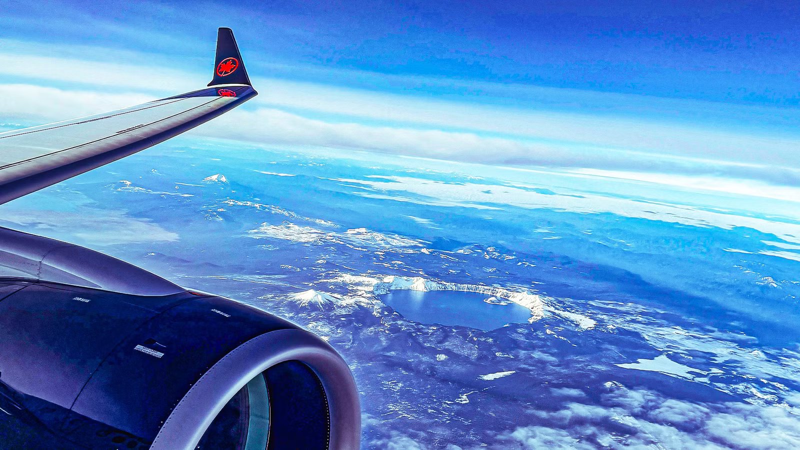
The North Atlantic is one of the clearest examples. According to ICAO’s NAT Doc 007 manual, aircraft crossing the Atlantic typically operate between FL290 and FL410 under tightly coordinated routing systems. At the same time, the airspace itself remains legally international. No nation possesses territorial rights over the central Atlantic flight corridors used by thousands of daily airline operations.
This creates an extraordinary situation. A commercial jet cruising at 35,000 feet over the mid-Atlantic operates in a region that has no sovereign owner, is governed by international agreements rather than territorial authority, and lies beneath a legal upper boundary that international law still cannot define precisely.
North Atlantic Flights Work Because Procedure Replaced Legal Certainty

Despite the legal ambiguity, commercial aviation remains remarkably safe and efficient. The reason is simple: operational systems compensate for unresolved legal questions. Airlines, regulators, and air navigation providers have built procedures that function effectively regardless of sovereignty debates.
The North Atlantic Tracks system is a perfect example. Because radar coverage is unavailable across much of the ocean, controllers cannot continuously monitor aircraft positions the way they do over continental airspace. Instead, pilots rely on satellite navigation, procedural separation standards, and mandatory position reporting. Aircraft follow carefully structured tracks optimized daily for winds and traffic flows.
The system depends heavily on precision navigation technologies. Modern long-haul aircraft, including the Airbus A350 and Boeing 787 Dreamliner, can maintain extremely accurate routing across thousands of miles. Crews provide regular position reports, while controllers ensure separation using time, altitude, and route spacing rather than relying on radar surveillance.
According to the House of Commons Library’s report on space and airspace regulation, this operational framework succeeds because international actors prioritize practical coordination over legal perfection. The aviation industry effectively filled a legal vacuum through standardized procedures and mutual cooperation.
The reality is that most passengers never notice this complexity. A traveler sleeping aboard a red-eye flight from Toronto to Paris assumes the aircraft is continuously operating inside clearly defined legal territory. In practice, much of the journey occurs within an internationally coordinated zone whose legal status is far more improvised than most people realize, basically as it was at sea during the Age of Exploration and the Golden Age of Piracy in the 15th-18th centuries.
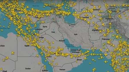
No Fly Zones: The Global Tensions Adding Hours To Your Flight
A major up swing in state-on-state violence coupled with the proliferation of air defense systems is reshaping connection corridors and adding hours.
The Debate Matters More As Aviation And Spaceflight Begin To Merge

For decades, the unresolved boundary between airspace and outer space remained largely theoretical because aircraft and spacecraft operated in entirely different domains. That distinction is beginning to disappear in the 21st century. Modern aerospace companies increasingly envision vehicles capable of both atmospheric and suborbital flight.
This shift explains why legal scholars and regulators are paying renewed attention to delimitation. Hypersonic transport concepts could eventually cruise at altitudes far beyond conventional airline operations. Future point-to-point spacecraft may technically leave the atmosphere before reentering elsewhere on Earth. Without a clear legal boundary, governments may disagree on which laws apply during different phases of flight.
The discussion has also intensified because of renewed lunar exploration efforts. Following the recent Artemis missions around the Moon led by NASA and international partners, conversations about permanent lunar operations and future colonization have accelerated dramatically. But the same unresolved legal questions surrounding airspace boundaries extend outward into broader debates about sovereignty in space.
|
Boundary Concept |
Approximate Altitude |
Legal Status |
|
Typical airline cruise altitude |
35,000 ft (10.6 km) |
Clearly treated operationally as airspace |
|
US definition of space |
50 miles (80 km) |
Recognized domestically, not internationally binding |
|
Kármán Line |
62 miles (100 km) |
Scientific convention without legal force |
|
Gap between US and Kármán definitions |
80–100 km |
Legally undefined zone |
Going deeper into outer space, under the Outer Space Treaty, no country or individual can legally own the Moon. As explained by DW’s analysis of lunar ownership law, celestial bodies are considered part of the “global commons,” open to peaceful exploration but not territorial claims. That principle resembles the legal treatment of international waters and, to some extent, international airspace.
The irony is striking. Humanity can launch spacecraft to lunar orbit, discuss permanent Moon bases, and plan missions to Mars, but international law still lacks a universally accepted definition for where Earth’s sovereign airspace actually ends. Commercial aviation may seem far removed from lunar governance, but both subjects expose the same unresolved tension between territorial sovereignty and shared global access.
The Sky Works Through Cooperation More Than Law

The modern aviation system demonstrates that international transportation does not always require perfect legal clarity to function effectively. Airlines safely move millions of passengers every day through a framework built as much on operational consensus as formal sovereignty. Pilots crossing the Atlantic rarely think about whether the sky around them is technically owned by anyone. Controllers guiding those flights focus on procedures, separation standards, and safety protocols rather than unresolved legal theory.
Still, the ambiguity remains real. At 35,000 feet, a commercial jet is unquestionably operating inside what aviation professionals treat as airspace. Yet the ultimate legal limits of that airspace remain undefined under international law. Over the oceans, the situation becomes even stranger because the airspace itself belongs to no nation at all.
For now, that uncertainty causes little practical disruption because the aviation industry has spent decades developing systems that bypass the unresolved legal gaps. But as aerospace technology pushes aircraft higher and faster, and as humanity expands its ambitions beyond Earth, the pressure to finally define where national airspace ends, and outer space begins may eventually become impossible to avoid. Until then, every long-haul passenger flight continues crossing a surprisingly improvised legal frontier hidden far above the clouds.
Catch what other trackers miss
Emergency squawks, holds, NOTAMs — live signals, no signup.
Open tracker
Catch what other trackers miss
Emergency squawks, holds, NOTAMs — live signals, no signup.
Open tracker