dailynewsnblog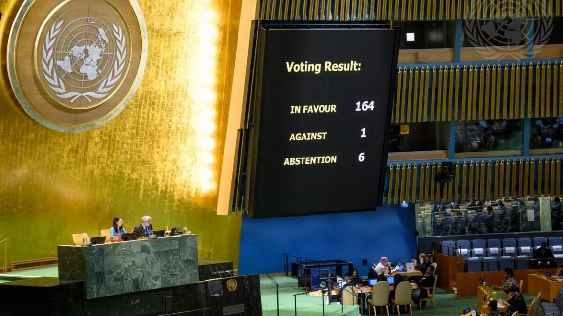
Nearly every country represented in the United Nations General Assembly recently voted in favor of promoting world maps that more accurately show the size of various continents. But the UN resolution is unlikely to change how millions of people regularly see versions of 16th-century Mercator maps depicting skewed continent sizes in navigation apps.
On September 4, the African-led resolution attracted 164 votes in favor, with six countries abstaining from voting. Only the United States voted to oppose the resolution after describing it as a “radical ideological project,” according to UN News.
The non-binding UN resolution does not impose map changes on anyone. Instead, it “encourages governments, schools, international organizations, and technology companies to use the Equal Earth projection and other so-called equal-area maps when relative size matters,” UN News reported. The resolution also encourages teaching about the trade-offs that arise from depicting a spherical planet on a flat map.
Many popular world maps often represent modernized versions of the Mercator world map originally developed by Flemish cartographer Gerardus Mercator in 1569. His focus was on creating a map projection that showed straight lines consistent with how ships might move when consistently following a compass bearing, making it a very practical maritime navigation tool for plotting accurate courses at sea.
The practicality of the Mercator projection for navigation helped it become one of the most popular world maps still in use today, and digital maps are no exception. The most widely used navigation apps, such as Google Maps and Apple Maps, still use variations of the Mercator projection, with Google Maps alone having more than 2 billion monthly users.
However, the Mercator map comes with the trade-off of showing inaccurate sizes for continents. Landmasses become artificially enlarged the farther they are from the Earth’s equator, which leads to absurdities such as the continent of Africa appearing to be the same size as Greenland despite being 14 times bigger.
The visually inflated size of certain landmasses such as Greenland on the Mercator map may even have geopolitical implications. A study published in Communication Reports found that national security arguments paired with the Mercator map could influence how people evaluated the Trump administration’s proposal to purchase Greenland.