Nearly 80 million people across the East Coast are on alert for a major arctic blast this weekend.
Extreme Cold Warnings are in effect across much of the Northeast and Mid-Atlantic. Sunday morning will be the coldest morning of the season across the Northeast.
Wind chills were already down to frigid levels from the Great Lakes to the Carolinas early Saturday, with even lower numbers on the way.

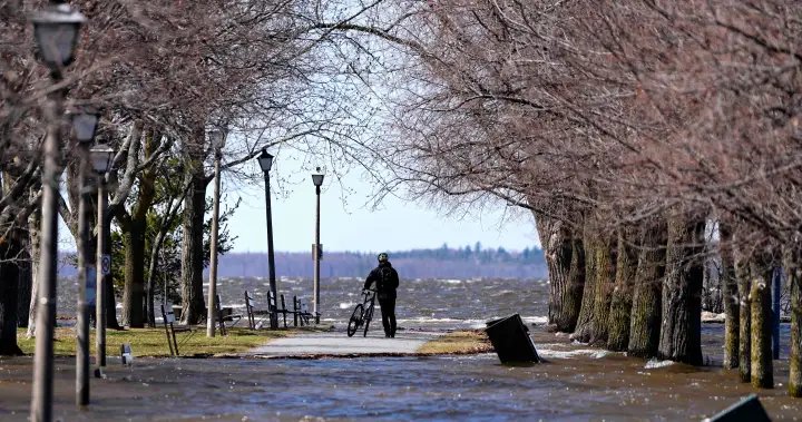
Along with along with the frigid temperatures and strong wind gusts, snow is now winding down in coastal New England. A pesky inverted trough set up over the area and brought some very localized heavy snow, with some bands producing around 2.5 inches per hour.

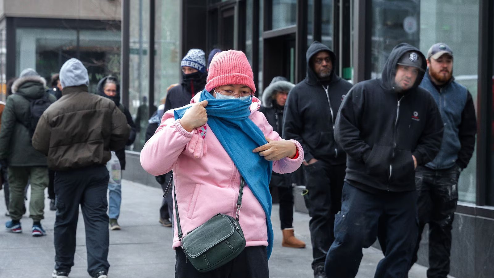
With low temperatures down to the single digits for most in the Northeast and the winds continuing to howl, wind chills will be subzero across all of the Northeast.
Extreme Cold Warnings are in effect across much of the Northeast, including Pennsylvania, New Jersey, New York, Connecticut, Massachusetts, and Vermont.


With low temperatures down to the single digits for most in the Northeast and those winds continuing to howl, wind chills will be subzero across all of the Northeast.
Places like New York City, Boston and Buffalo will see wind chills in the minus 10s. Frostbite on exposed skin can occur in as little as 30 minutes or less with the more extreme periods of cold.
New York City is experiencing its coldest winter in more than 20 years. The last time it was this cold through the first week of February was back in the winter of 2002-2003. Boston is experiencing its coldest winter in over a decade.
Meanwhile, places in upstate New York and far northern New England, can see wind chills down to the minus 20s and 30s.
By Monday morning, it’s still cold but beginning to improve across the Northeast with winds calming down and the cold not as bitter as this weekend.
Gradually, over next week, a warming trend is expected across the East.