dailynewsnblog
Crossing from land into non-radar oceanic airspace is one of the clearest changes in how flight crews operate. When radar screens and air traffic chatter fade away, pilots enter the world of procedural control. On these isolated stretches, disciplined cockpit routines, automated data link protocols, and independent safety checks keep high-speed airliners safely separated over open water, even when radar coverage becomes weaker.
Based on operational guidance from the Federal Aviation Administration (FAA) and global flight standards, this list explores five distinct procedural shifts that occur once pilots step off the coast. From silent radio communications to strategic flight path offsets, these specialized techniques highlight how aviators navigate beyond the reach of radar.
Data Link & High-Frequency Radios
Managing communications where standard radio signals do not work

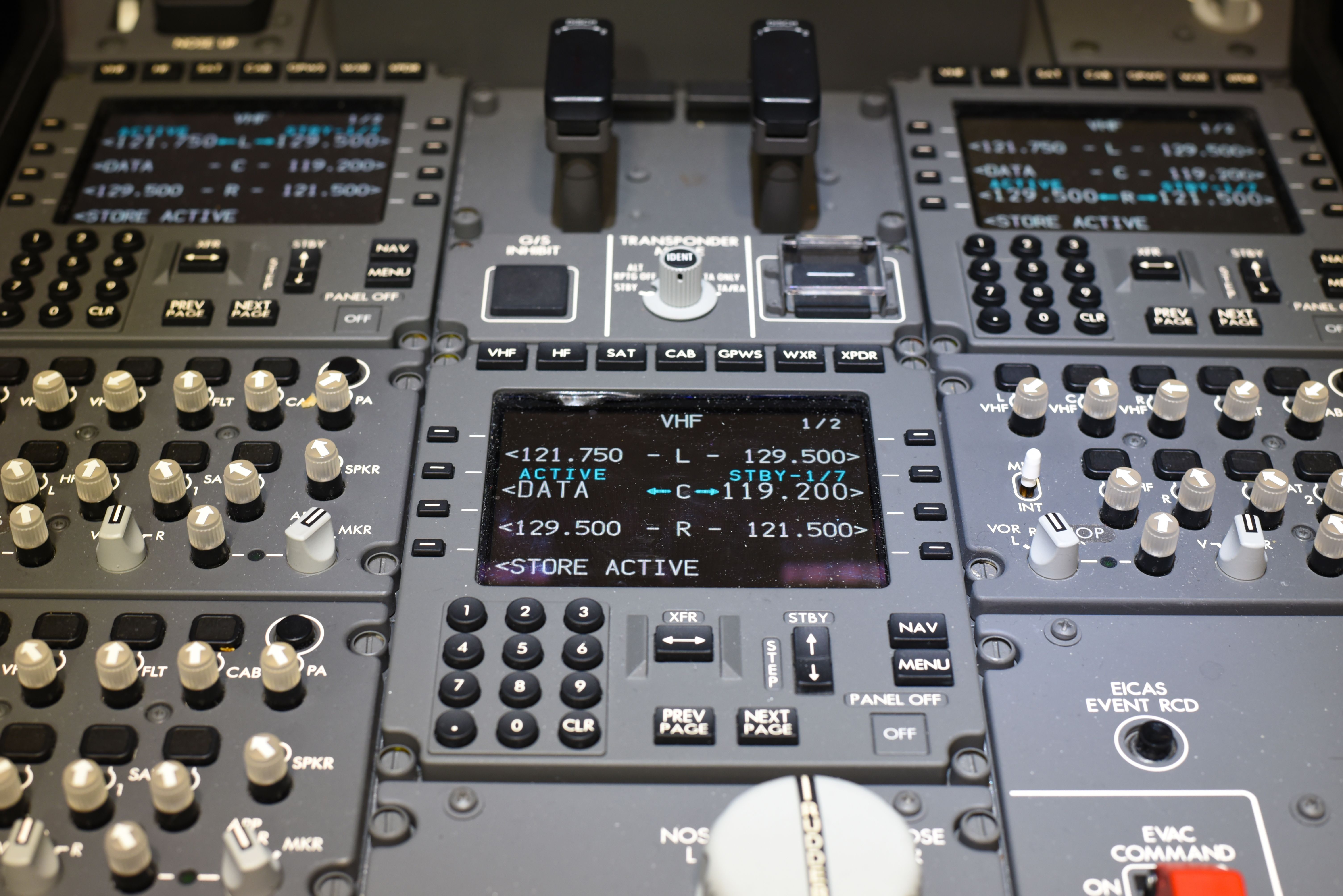
When an aircraft leaves the coastline, line-of-sight Very High Frequency (VHF) radio signals quickly fade out, usually within 200 nautical miles to 250 nautical miles (370 km to 463 km) from land. Beyond this boundary, flight crews can no longer rely on clear, continuous voice contact with ground controllers. Instead, long-haul airliners transition to High Frequency (HF) radios and satellite communication channels. High Frequency signals bounce off the ionosphere to cover immense distances across open ocean, but they are prone to atmospheric static and background noise that makes continuous audio monitoring exhausting for flight crews.
To manage communications quietly and efficiently, modern transoceanic flights rely heavily on digital satellite data links. As outlined in FAA Oceanic Data Link Procedures, pilots move their primary messaging to Controller Pilot Data Link Communications (CPDLC). According to flight operations documentation on SKYbrary, CPDLC allows controllers and pilots to exchange text-based clearances, altitude requests, and route revisions without relying on congested voice channels. Alongside, Automatic Dependent Surveillance-Contract (ADS-C) transmits automated satellite position reports directly from the flight management computer to oceanic controllers, creating a silent digital connection across thousands of miles.
Even with satellite data link systems active, international regulations show that flight crews need to establish HF voice backup upon entering oceanic airspace. Pilots establish contact with an oceanic radio operator, select assigned primary and secondary HF frequencies, and proceed to a Selective Calling (SELCAL) check. During a SELCAL check, the ground station transmits a unique four-letter tone combination to the aircraft, triggering an audible chime and cockpit warning light. Once the chime confirms the receiver is operational, pilots turn down the HF radio volume, removing the constant background static, but remaining confident that any direct voice call from controllers will chime immediately into the flight deck.
Adjusting Transponder Codes & Monitoring Guard Frequencies
Standardizing oceanic squawks and radio monitoring
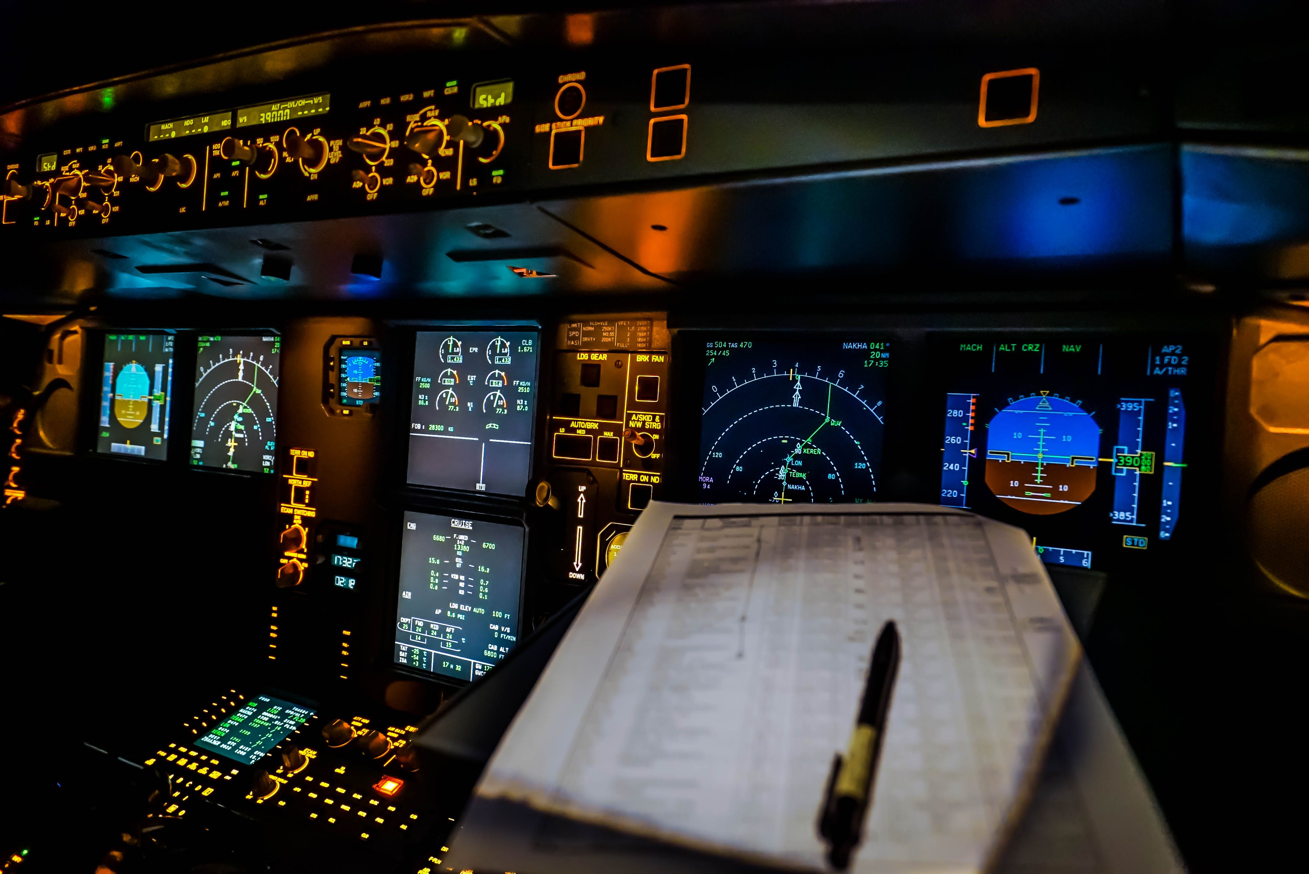
In most airspaces, air traffic controllers assign unique four-digit transponder codes to every aircraft to identify individual radar targets on their control screens. Once an aircraft steps into non-radar oceanic airspace where ground radar cannot sweep the skies, individual squawk assignments lose their purpose. According to FAA Oceanic General Operations guidelines, pilots flying across remote oceanic corridors select transponder code 2000 exactly 30 minutes after entering oceanic airspace, unless explicitly instructed otherwise by air traffic control. Resetting the transponder clears domestic code assignments from the system and signals to airborne radar systems that the aircraft is operating under oceanic procedural separation rules.
Alongside transponder adjustments, flight crews modify their radio audio configuration to maintain continuous situational awareness across secondary VHF channels. After primary ATC messaging shifts to text-based satellite channels, pilots dedicate secondary VHF radios to monitoring specific global frequencies. Crews dial VHF radio two to 121.5 MHz, the international emergency guard frequency, which ensures they can hear distress broadcasts or urgent emergency signals from nearby traffic. With this, pilots configure another radio to 123.45 MHz, the informal air-to-air operational frequency where long-haul flight crews exchange real-time reports regarding turbulence, weather buildups, and atmospheric conditions over open water.
Operating Parameter | Domestic Radar Airspace | Oceanic Procedural Airspace |
Transponder Code | Discrete 4-digit squawk assigned by ATC | Standardized squawk 2000 (set 30 minutes post-entry) |
Primary Communications | VHF voice radio frequencies | Satellite CPDLC text messaging and HF SELCAL voice |
Secondary Audio Monitoring | Assigned sector discrete frequencies | 121.5 MHz (Guard) 123.45 MHz (Air-to-Air) |
Position Verification | Ground radar and terrestrial ADS-B stations | Satellite ADS-C and manual cockpit waypoint plotting |
These radio and transponder protocols are codified globally in the ICAO NAT Doc 007 operational manual, which governs flight rules across North Atlantic tracks. Maintaining a dual-channel listening watch and broadcasting standardized transponder squawks forms a critical safety backup if satellite data link connections experience temporary outages. The standardizing of transponder codes to 2000 and monitoring shared guard channels create a decentralized communication safety net, allowing airliners thousands of miles from land to maintain immediate contact with surrounding traffic even when completely out of range from ground-based radio towers.
Flying Strategic Lateral Offset Procedures
How aircraft can avoid in-flight collisions
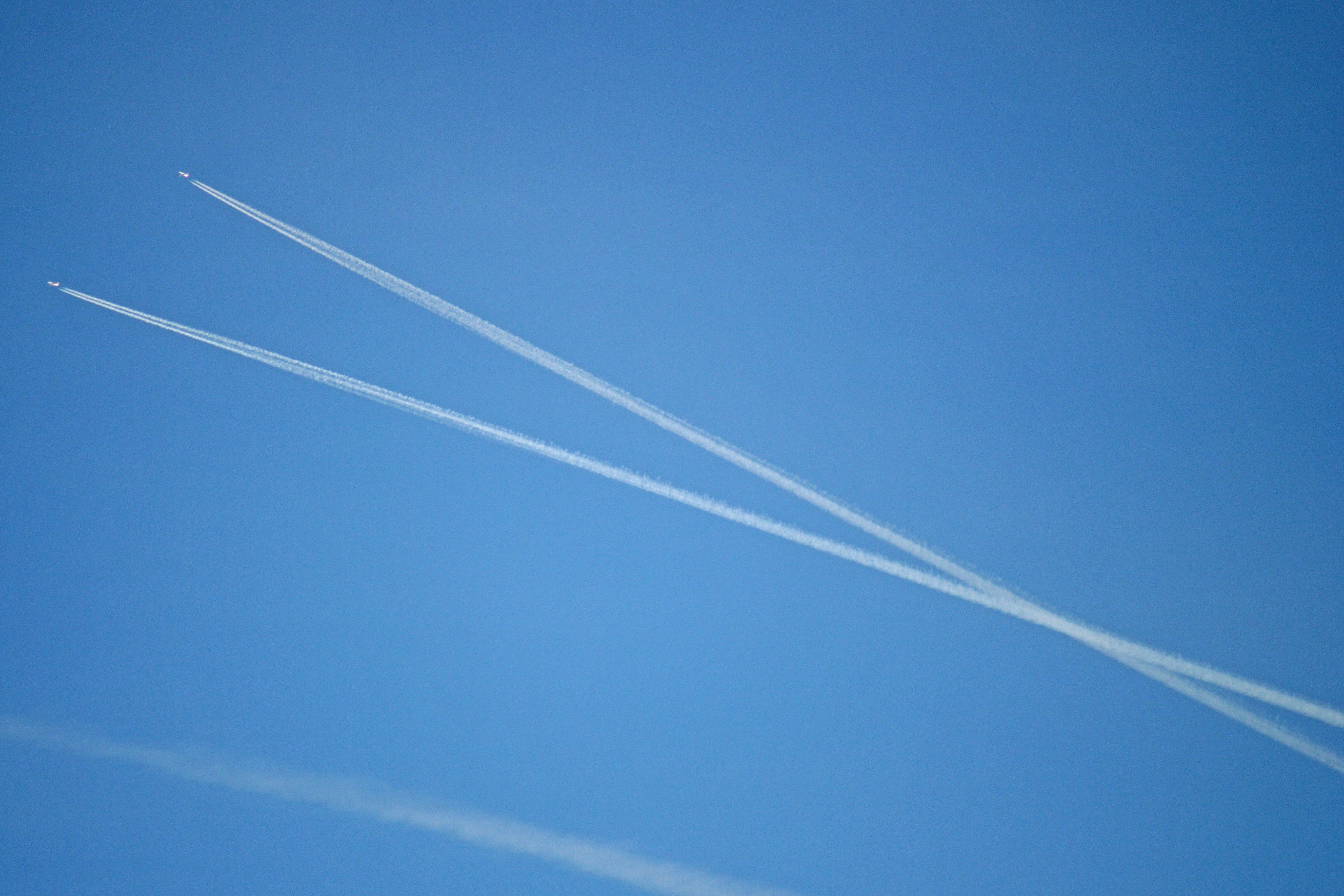
Modern satellite navigation systems, powered by Global Positioning System sensors and Inertial Reference Systems, are extraordinarily precise. When two commercial jetliners fly along the exact same oceanic track, their flight management computers guide them along the same mathematical centerline down to a matter of feet. While this accuracy is impressive, it creates a subtle hazard in non-radar airspace. If an aircraft experiences an unannounced altitude deviation or an uncorrected navigation system failure, flying down the exact same mathematical line drastically increases the risk of a mid-air collision. To eliminate this risk, pilots intentionally fly slightly off course using Strategic Lateral Offset Procedures.
According to operational safety standards detailed in FAA Strategic Lateral Offset Procedures, crews program their flight management system to fly one nautical mile or two nautical miles to the right of the assigned track centerline. As documented in ICAO Circular 354, advanced navigation computers also allow micro-offsets in tiny tenth-of-a-mile increments up to two nautical miles. Regulations mandate that lateral offsets are permitted strictly to the right of the flight path. Offsetting to the left is prohibited, which ensures that all aircraft on the same track shift in the same direction to maintain safe lateral spacing.
Offsetting provides crucial protection against structural wake turbulence. At high cruising altitudes in thin air, heavy long-haul aircraft like the Airbus A350 or Boeing 777 generate powerful wingtip vortices that sink hundreds of feet into trailing airspace. An aircraft flying directly down the centerline behind a heavy jet can encounter violent rolling forces if it hits these sinking vortices. Moving one or two nautical miles to the right, pilots step outside the core wake turbulence corridor. Discussions from PPruNe confirm that flight crews execute these lateral offsets independently without requesting prior approval from air traffic control, making offset flying a standard safety habit across open ocean.
Post-Waypoint Plotting & Navigation Checks
Making sure that errors do not go unnoticed
Over continental landmasses, flight plans follow structured airways that originate from ground-based radio beacons with easy-to-remember five-letter waypoint names. Across non-radar ocean tracks, route waypoints are defined primarily by geographic coordinates spaced hundreds of miles apart. Entering a single incorrect digit into a flight management computer, such as keying in 21°N instead of 22°N, can quietly steer a jetliner miles off course into opposing traffic corridors.
To maintain strict route adherence, flight crews perform an independent post-waypoint plotting check approximately ten minutes or 2° of longitude after sequencing every oceanic fix. As detailed in an oceanic navigation breakdown from AeroSavvy, the pilot monitoring opens the active navigation sensor page on the flight management computer to read the aircraft’s live latitude and longitude coordinates. The pilot plots those exact coordinates onto a plotting chart or digital Electronic Flight Bag (EFB) map, confirming that the current physical position matches the plotted course on the master flight plan.
The manual cross-check creates a reliable human firewall between automated guidance computers and real-world geography. As outlined by OpsGroup, an uncorrected track deviation of ten nautical miles (19 km) or greater is classified as a Gross Navigation Error (GNE), leading to formal regulatory reports and safety inquiries. Pilots are constantly comparing live navigation data against master flight logs at regular intervals so that any computer keystroke errors or subtle sensor drifts are identified and corrected long before an aircraft strays from its assigned track.
Non-Clearance Emergency Contingency Procedures
What to do when a catastrophe happens
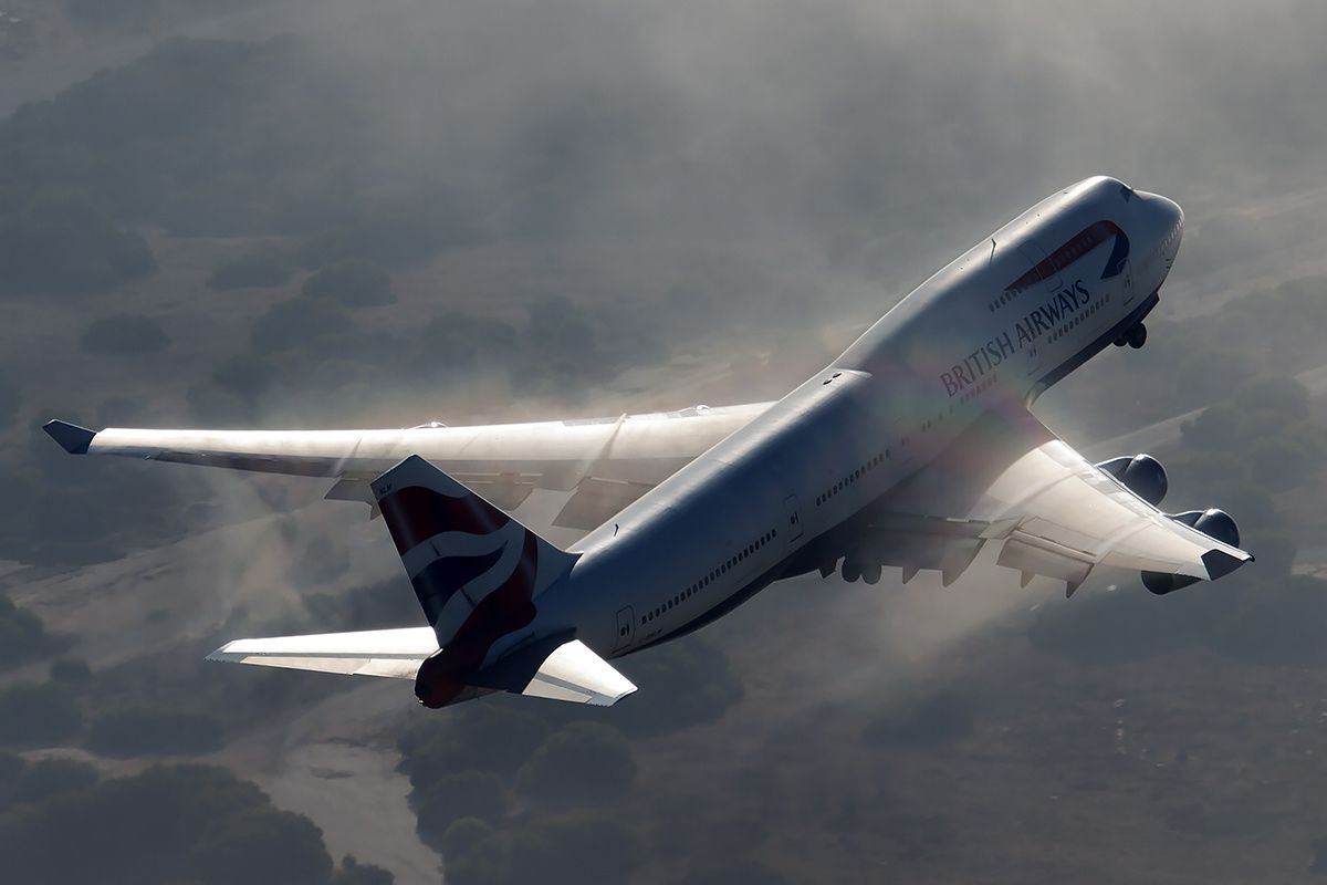
Over continental landmasses, a sudden cabin depressurization or engine failure prompts immediate radar vectors and continuous altitude clearance from ground controllers. Over open water, flight crews cannot wait for air traffic control response times when managing critical aircraft failures. If an airliner loses cabin pressure or suffers an engine shutdown thousands of miles from land, pilots need to act independently. To prevent midair collisions with surrounding traffic operating on adjacent tracks or lower flight levels, crews perform standardized emergency contingency maneuvers without prior controller approval. A perfect example of this would be British Airways Flight 9, which suffered a total engine failure over the Indian Ocean.
As outlined in global air traffic management standards in ICAO Doc 4444, the flying pilot turns the aircraft 30° away from the assigned track centerline toward whichever side offers the safest separation from surrounding traffic or hazardous weather. Once established on a 30° turn-off heading, the crew navigates toward a parallel emergency track spaced five nautical miles (9.3 km) away from the original flight path. If an aircraft cannot maintain its assigned cruising altitude, pilots descend to an altitude offset by 500 feet (152 meters) from standard flight levels, positioning the jet midway between populated cruising altitudes to avoid conflicting with surrounding aircraft.
While maneuvering off the assigned track, flight crews initiate immediate broadcast notifications to warn nearby airliners. Pilots illuminate all exterior lights, including landing and logo lights, to maximize visual visibility during the maneuver. Whilst this is happening, the pilot monitoring broadcasts an emergency declaration over 121.5 MHz emergency guard and 123.45 MHz air-to-air frequencies while sending a priority MAYDAY message through CPDLC satellite text messaging. The aim for flight crews is to establish a protected buffer around their aircraft, maintaining safe separation until controllers process satellite data link updates and issue a revised oceanic clearance.