Gaspard-Félix Tournachon, popularly known as “Nadar,” took the first known aerial photographs using a camera attached to a hot-air balloon just outside Paris in 1858. Ever since, technologists have been developing increasingly sophisticated ways to capture high-altitude images of Earth.
In the First World War, military intelligence pushed the technology from artistic novelty to real-world use. Today, everything from urban planning and insurance underwriting to disaster response relies on detailed, high-resolution, and often 3D images of our planet. For emerging fields like autonomous robotics and augmented reality, making a digital copy of the physical world is one of the century’s most consequential infrastructure projects.
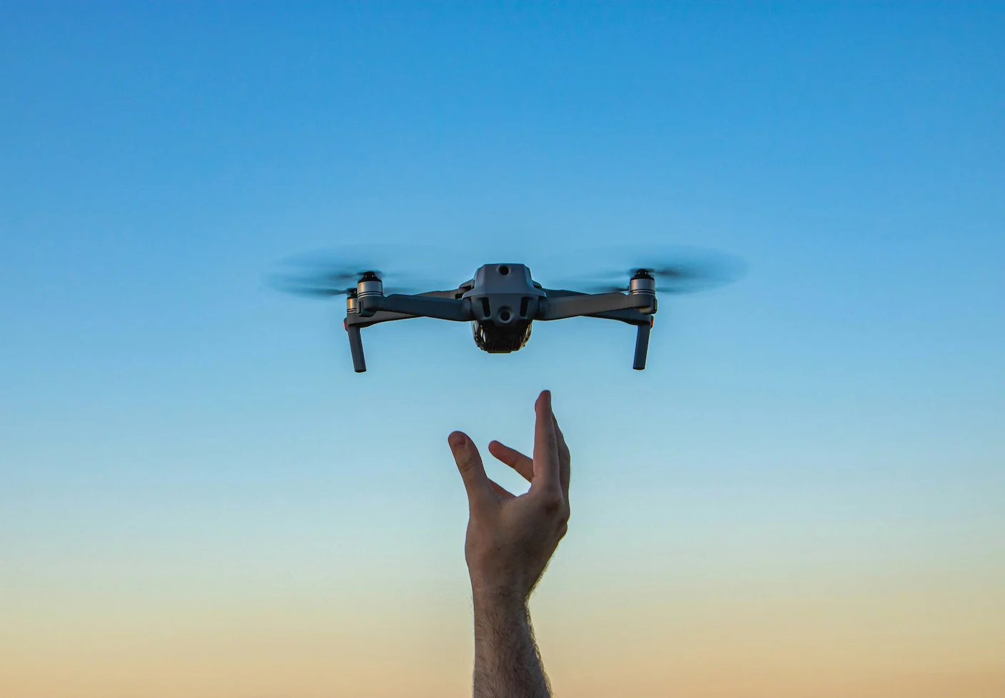
While more traditional aerial imagery relies on airplanes, satellites, and the occasional pigeon, today’s industry is also turning to low-cost drones.
Bill Lakeland, CEO and cofounder of Canadian drone imaging company Spexi, says improvement in consumer drones over the last decade is reshaping aerial imagery. In an interview with Joseph Raczynski, Lakeland details how low-cost drones are disrupting older methods involving airplanes and satellites.
“We’re getting better data out of micro-drones than what we get out of a $2 million mapping camera. The time has arrived,” he says.
According to Spexi, because off-the-shelf drones fly low, they can produce imagery at a resolution 30 times higher than satellites. Drones are also more cost-efficient and less time-consuming than airplanes. This means they’re quickly achieving workhorse status.
What’s notable about Spexi is that instead of operating their own fleet of vehicles, they work with a decentralized network of hobbyists. Anyone with a drone can download the company’s software to autonomously fly a pre-determined flight path and capture the necessary images on demand. According to Lakeland, each flight covers roughly 25 acres in about seven minutes. A pilot can expect to earn around $10 per flight, with some earning hundreds of dollars a day. To date, Spexi’s network of over 8,000 drone pilots has mapped more than 5 million acres across more than 200 cities in Canada and the United States.
With this data, Spexi aims to build a sort of Google Street View from the sky. But consider that Google’s rumored investment building Street View was over a billion dollars as they gathered data with car-mounted cameras. While it was a different type of information, Google’s acquisition of Waze in 2013 gave them access to crowdsourced map data Waze collected for free from 40 million users. While Spexi’s approach isn’t free, it appears to be skipping the relatively more expensive in-house phase for something closer to Waze’s approach.
The impact of having up-to-date maps of Earth from above is sure to be significant.
In a Bloomberg profile, Lauren Rosenthal writes that forestry professionals are already leveraging drone data to help prevent wildfires. They’re using images from Spexi to train AI models that can alert forest managers to areas of high fire risk. Similarly, insurance companies are turning to Spexi for risk assessment, underwriting, and claims processing.
In augmented reality and robotics, drone data can also produce 3D maps for visual positioning systems. Author and Wired cofounder, Kevin Kelly, calls this digital twinning project the “mirrorworld.” Some observers suggest it’s one of the most significant technology projects of the age. Using this type of 3D training data, companies are also building generative AI world models, which help AI understand the physical world.
The rise of drone imaging doesn’t yet signal the end of other approaches, and it’s not clear how much of the industry will be serviced by drones versus other means. The race to corner the satellite imaging market is also heating up. In one sense, Tournachon’s 19th century art project was no different than today’s image gathering; attach a camera to a flying object and take pictures of Earth. The main distinction, however, is that these images have evolved from mere curiosity to a digital asset powering the modern world.