Listen to this article
Estimated 5 minutes
The audio version of this article is generated by AI-based technology. Mispronunciations can occur. We are working with our partners to continually review and improve the results.
Wednesday’s icy forecast cancelled all but a few school buses and closed some schools entirely across eastern Ontario and western Quebec.
Freezing rain was expected to start early in the morning and last most of the day, leading to orange-level warnings about the dangers for the Ottawa-Gatineau area including likely utility outages and property damage.
Non-essential travel is not recommended.
By about 6 a.m., the storm was hitting western parts of the region such as Pembroke and Bancroft. It reached downtown Ottawa around 8:30 a.m. but has largely fallen as rain there in the morning, unlike more icy areas to its north and west.
Geoff Coulson, a warning preparedness meteorologist with Environment Canada, said just before noon the hardest-hit parts of the region were Barry’s Bay and the upper Ottawa Valley. Southern Quebec had hours of freezing rain at that point.
There could be an early afternoon break before a second wave of freezing rain during the mid-to-late afternoon, he said, and dropping temperatures could freeze standing water.

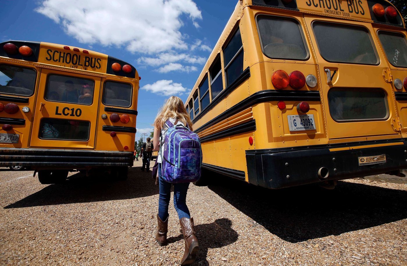
All schools are closed in western Quebec and Renfrew County. There are also school closures north of Kingston-Belleville and for some private schools in the Outaouais.
Algonquin College has cancelled in-person classes Wednesday.The only school buses that are running are in the Kingston-Belleville area, where there is a rainfall warning instead.
Check with your school or board for information on what happens when there are no buses or classes.
The Ottawa International Airport Authority said at 5:45 a.m. Wednesday that about 50 flights had been cancelled. Via Rail says weather delays are possible between Kingston and Quebec City.
OC Transpo interim general manager Troy Charter said the weather is a factor in a stopped train that has closed Line 1 between uOttawa and Blair stations.
As of 1 p.m. there were no widespread local power outages. About 7,500 customers didn’t have power in western Quebec and another 4,300 were out in Hydro One’s Bancroft and Cobden areas.
There are more cancellations at the bottom of this story.
The forecast
Environment Canada is forecasting two to three centimetres of freezing rain Wednesday for an area from Gatineau north to Maniwaki and east to the Montreal area.
The rest of western Quebec and northern eastern Ontario, including Ottawa, could get one or two centimetres of freezing rain under their warnings.
That amount of freezing rain falling does not necessarily mean that’s how much ice will build up, according to Environment Canada.
Eastern Ontario’s warning, which covers communities north of Highway 7, then north of the St. Lawrence River further east until it brings in Cornwall, says more of a mix of rain and freezing rain could end up falling, especially for areas further south.
The storm could be similar to the April 2023 ice storm that hit the area, according to Eric Tomlinson, an Environment Canada warning preparedness meteorologist.
Hundreds of thousands of local customers lost power in that storm, which Hydro Ottawa described as the worst ice storm in the area since 1998.
Communities south of those warnings should get 20 to 40 millimetres of rain.
Areas north and east of Kingston could see precipitation change back and forth between rain and freezing rain.
There is a yellow-level freezing rain warning just south of the orange warning, affecting communities such as Brockville and Tweed.
Just south of that less severe freezing rain warning is a rainfall warning for Mallorytown and communities to its west such as Belleville and Kingston.
Temperatures are expected to be around the freezing mark in Ottawa-Gatineau from Tuesday night until Thursday.
Orange warnings are in the middle of Environment Canada’s three-colour scale. They signal uncommonly severe weather likely to cause significant disruption.

Environment and Climate Change Canada has changed the way it classifies its weather warnings. CBC Meteorologist Ryan Snoddon explains it’s all about risk and impact.
Ways to prepare
The City of Ottawa recommends preparing for extreme weather by having emergency supplies, such as non-perishable food and batteries, to cover three days.
Vehicles should have supplies such as booster cables and a battery pack, first aid kit, sand or kitty litter for traction, a flashlight and blankets.
There are steps to take to avoid carbon monoxide poisoning.
More Wednesday cancellations
The school closures north of Kingston-Belleville are Our Lady of Mercy Catholic School, St. Martin of Tours Catholic School, North Hastings public schools, the North Addington Education Centre and Clarendon Central Public School.
Outaouais private school closures include Collège St-Joseph in Hull, Collège Saint-Alexandre, and the Montessori School in Chelsea.
The agriculture, aviation and science museums are closed, so are Camp Fortune and Edelweiss ski resorts. Gatineau Park trail networks are closed.
Ottawa Public Library branches are closed Wednesday morning. Gatineau has closed its Aylmer and Buckingham service centres, saying they didn’t have enough staff available because of the weather.