Listen to this article
Estimated 3 minutes
The audio version of this article is generated by AI-based technology. Mispronunciations can occur. We are working with our partners to continually review and improve the results.
Environment Canada has issued dozens of weather alerts covering much of B.C., alerting residents to the potential for heavy rain, snow and storms.
An atmospheric river over the South Coast, including the northeast of Metro Vancouver and the North Shore, could bring up to 120 millimetres of rain, which Environment Canada noted could lead to potential flooding.
“Extensive water pooling on roads and washouts may occur,” said Environment Canada’s weather alert.
Drivers are warned not to drive through flooded roadways and to prepare for some travel delays.
“Landslides may occur in vulnerable areas such as steep slopes, deforested areas or recent burn scars.”
Heavy rain is also expected around the north and west coast of Vancouver Island, with up to 150 mm expected and possible higher amounts reaching 200 mm in some areas.
Snowfall, storm warnings
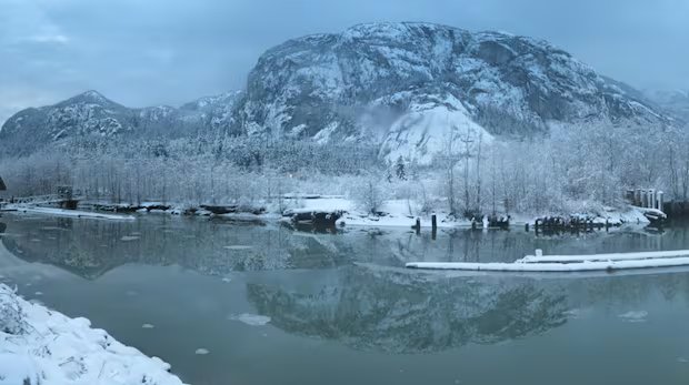
In the Sea-to-Sky region from Squamish to Whistler, a winter storm warning is in effect due to the atmospheric river event.
Up to 20 centimetres of snow is expected by midday Monday, and periods of heavy rain starting Monday afternoon until Wednesday could bring up to 70 mm of rain.
More snow is falling further north.
In Kitimat and Terrace, up to 40 cm of snow has fallen since Sunday afternoon, and a winter storm warning is in place.
A winter storm warning is also in place for Bella Coola and Hagensborg on the Central Coast, where 15 cm of snow fell Sunday into Monday morning. The snow is forecast to turn to heavy rain, with up to 70 mm expected by Tuesday morning.
“This may result in localised flooding as the rain collects on snow-covered surfaces before the snow completely melts,” Environment Canada said.
A wind warning is in effect for the Fraser Canyon on Monday as a deep low-pressure system brings “strong southerly winds,” according to Environment Canada. That’s expected to remain until Tuesday morning.
Environment Canada says utility issues are possible, and residents are recommended to secure loose objects.
Northern B.C. along the Yukon border could see up to 20 cm of snowfall by midday Monday, and winds gusting to 50 km/h will reduce visibilities.
“Heavy snow is expected to taper off by midday for most areas, however periods of light snow may continue into the afternoon for Cassiar and Watson Lake,” said Environment Canada.
In the northeast, up to 15 cm of snow is expected, with higher amounts north and west of Fort Nelson.
The North Coast, including Stewart and Highway 37, could see up to 40 cm of snow.
More snow is blowing across the central Interior and Cariboo, up to and past Prince George to Williston. Snow is expected to change to rain showers as the temperatures rise during the day.