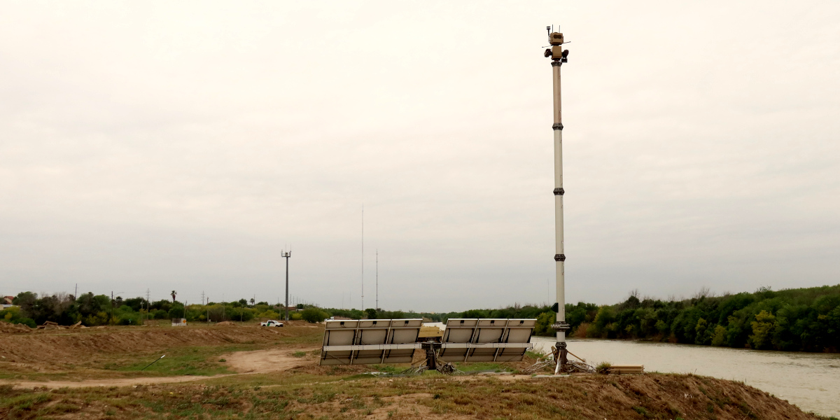
When people see Customs & Border Protection’s giant, tethered surveillance blimp flying 20 miles outside of Marfa, Texas, lots of them confuse it with an art installation. Elsewhere along the U.S.-Mexico border, surveillance towers get mistaken for cell-phone towers. And that traffic barrel? It’s actually a camera. That piece of rusted litter? That’s a camera too.
Today we are publishing a major update to our zine, “Surveillance Technology at the U.S.-Mexico Border,” the first since the second Trump administration began. To help people identify the machinery of homeland security, we’ve added more models of surveillance towers, newly deployed military tech, and a gallery of disguised trail cams and automated license plate readers.
You can get this 40-page, full-color guide through EFF’s Shop or download a Creative-Commons licensed version here.
“The Battalion Search and Rescue always carries the Electronic Frontier Foundation’s zine in our desert rig,” says James Holman, who founded the humanitarian group that looks for human remains in remote parts of New Mexico and Arizona. “We’re finding new surveillance all the time, and without a resource like that, we wouldn’t know what the hell we’re looking at.”
The original version of the zine was distributed nearly exclusively to our allies in the borderlands—journalists, humanitarian aid workers, immigrant advocates—to help them better identify and report on the technology they discover on the ground. We only made a handful available in our online shop, and they went fast.
This time, we’ve printed enough for our broader EFF membership. Even if you don’t live near the border, you can support our work uncovering how the U.S. Department of Homeland Security’s technology threatens human rights by picking up a copy.
The zine is the culmination of a dozen trips to the border, where we hunted surveillance towers and other tech installations. We attended multiple border security conventions to collect promotional and technical materials directly from vendors. We filed public records requests, reviewed thousands of pages of docs, and analyzed satellite imagery of the entire 2,000-mile border several times over. Some of the images came from local allies, like geographer Dugan Meyer and Borderlands Relief Collective, who continue to share valuable intelligence on the changing landscape of border surveillance.
The update is available in English, with an updated Spanish version expected later this year. In the meantime, we have reprinted the original Spanish edition.
If you want to know more, a collection of EFF’s broader work on border technology is available here. And if you’re curious exactly where these technologies are located, you can check our ongoing map.
SUPPORT THIS WORK