Communities in Australia’s far north were again on flood alert as ex-Tropical Cyclone Narelle continued its destructive westward journey on Monday, with forecasts suggesting the system could re-intensify and potentially threaten the Perth region this weekend.
Narelle had weakened to a tropical low system on Monday after bringing heavy rain to already-saturated parts of the Northern Territory over the weekend.
But Bureau of Meteorology forecasts show the system tracking into the Indian Ocean on Tuesday evening and then travelling south parallel to the Western Australia coastline and regaining strength to become a severe cyclone by Wednesday evening.
The Northern Territory chief minister, Lia Finocchiaro, said on Monday morning: “As we are all very relieved to learn, ex-Tropical Cyclone Narelle is now very close to the West Australian border and we bid her farewell, and hope that everyone in WA will be OK.”
She said the system had moved across the NT faster than expected but had dropped significant rain, which was raising river systems and had closed several roads, including the main Stuart Highway near Adelaide River.
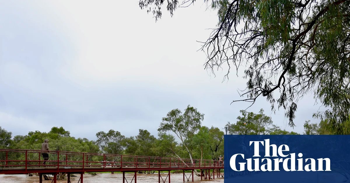
Several NT communities, including Daly River, Adelaide River and Katherine, were warned on Monday morning of minor to major flooding after more than 100mm of rain fell across a wide area on Sunday.
Ilana Cherny, a meteorologist at the Bureau of Meteorology, said the system would move into the northern Kimberley region of WA on Monday afternoon, bringing damaging gale force winds and gusts up to 100km/h and heavy rain with the risk of riverine and flash flooding.
Weather models were giving the bureau good confidence that Narelle would move offshore around the Pilbara coast, Cherny said.
“It’s going to spend significant time over water and will move into a favourable environment to re-intensify into a tropical cyclone and then a severe tropical cyclone,” she said.
She said by Thursday, Narelle could become a major category four system offshore “bringing impacts that we could see about the coast with strong and damaging winds”.
By Friday the system was likely to track further south to WA’s central and southern parts, but there was less confidence in the forecasts after that.
She said: “Once we get into Friday and the weekend, the system starts to track closer to the coast with a potential crossing again. But at this stage it is too early to know if it will cross or if it will still be a tropical cyclone.
“This far out we are seeing a range of scenarios and a system coming towards the coast through a range of locations through central and southern parts.”
She said there was potential for the system to bring welcome rainfall for WA’s agricultural districts north of Perth.
“It is unusual looking at a cyclone possibly impacting so far south, but there are examples,” she said.
Cyclone Alby brought strong winds to the state’s south-west in 1978, and the remnants of Cyclone Ned made landfall just south of Perth in 1989. Severe Cyclone Seroja crossed the coast north of Geraldton in 2021.
Narelle formed south of Solomon Islands in the Coral Sea last Tuesday with climate scientists pointing to record ocean temperatures that likely helped the system gain strength. Current forecasts suggested Narelle would make a journey of at least 5,000km.
Dr Hamish Ramsay, a climate and cyclone expert at the CSIRO, said the last tropical cyclone to cross Australia east to west was Steve in 2000, “so [Narelle] is a relatively rare event”.
“Most tropical cyclones weaken over land but can persist as tropical lows for days. If the low eventually re-emerges over warm ocean waters, it can quickly regain strength,” he said.