dailynewsnblog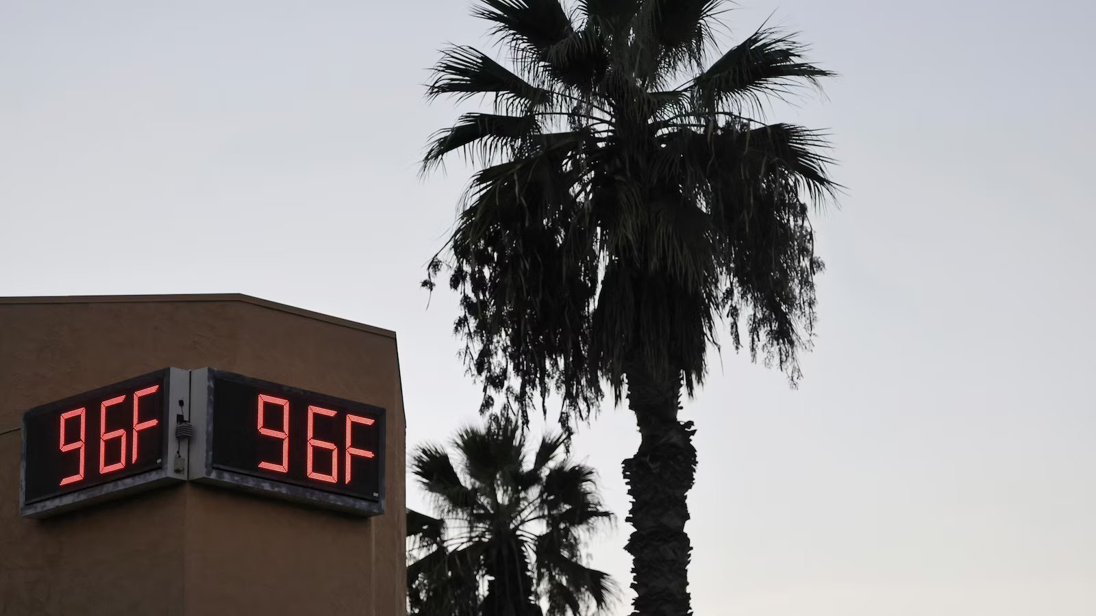
More than 35 million Californians are under heat alerts on Tuesday as a tropical disturbance is expected to continue to bring rainfall to central Florida.
Despite the majority of the West experiencing temperatures 5 to 15 degrees above average, southern and central California are in dangerous conditions.
This is the first time in recorded history Los Angeles has had four consecutive days of temperatures above 100+ degrees in October.

An unofficial outdoor thermometer reads 96 degrees amid a long duration October heat wave on October 05, 2026 in Pasadena, California.
Mario Tama/Getty Images
This heat wave will continue through the middle of this week and finally come to an end just as the weekend gets underway.
Extreme heat warnings are in place across SoCal through Thursday.

Dangerous Heat Wave Map
ABC News
Temperatures will reach 90 to 100 degrees along the coasts of Southern California, from San Diego to Los Angeles.
Valleys of Southern California could reach up to 106 degrees.
Heat advisories are in place across central California through Thursday or Friday depending on the area.

Tracking The Heat Map
ABC News
Temperatures could reach the low 100s from Bakersfield to Fresno to San Jose to Sacramento to Redding.
With overnight lows also well above average, this nearly week-long heat wave is especially dangerous for those without access to air conditioning.
Tropical disturbance in the Gulf Coast
Rain is expected to continue in central Florida, where a stalling frontal system is now draped.

Rain Potential Map
ABC News
It will stay in place through at least Thursday and bring daily rain showers to the state, with up to 2 inches possible in some places each day.
Tuesday through Thursday Florida could see 1 to 4 inches of widespread rain totals with some areas getting 4 to 8 inches over central Florida.
The flood threat is low given Florida can handle rainfall quite well.

Tropical Outlook Map
ABC News
On Friday, a potential tropical disturbance from the Gulf will move north toward the Florida Panhandle as the frontal boundary starts to retreat north as well.
A tropical depression is expected to form in the next 48 hours. It’s looking like it will have enough strength to become a tropical storm and potentially a hurricane.
Regardless of strength, this system could make landfall along the central Gulf Coast this weekend, most likely Saturday, but confidence is still low.
This will bring yet more rain showers to the Gulf Coast Friday through Sunday.

Weekend Rain Potential Map
ABC News
The central Gulf Coast, from New Orleans to Tallahassee, Florida, could receive 2 to 5 inches of rain Friday to Sunday.
Depending on the system’s strength, the South in general could see 1 to 4 inches of rain from Friday to Sunday.
This area can handle rain fairly well, so the flood threat is low, but it could flood urban areas with standing water at times.