dailynewsnblog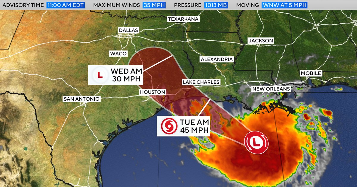
A tropical storm warning was issued Monday for coastal stretches of Louisiana and Texas as a tropical depression formed in the Gulf. Forecasters originally classified it as a potential tropical cyclone but revised the designation as it became more organized.
If it continues to develop as anticipated, the system will become Tropical Storm Edouard, the fifth tropical storm so far during the 2026 Atlantic hurricane season.
Maps show storm’s path and forecast
Forecasters predict that the system will dump 3 to 6 inches of rain on parts of coastal Texas and some inland areas in east-central parts of the state, with up to 9 inches of rainfall possible in certain places. Southwestern Louisiana was expected to see 2 to 3 inches, the National Hurricane Center said.
CBS News 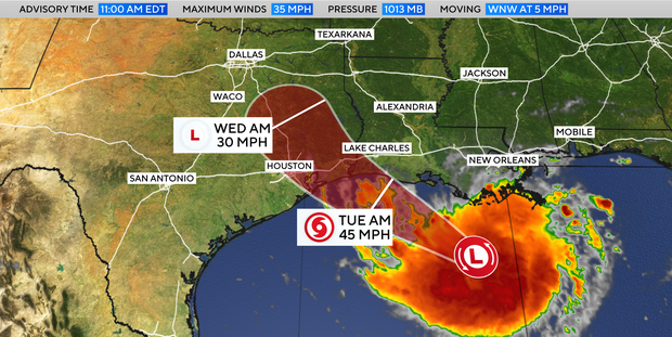
It warned that rain in both states “could produce flash flooding, especially in low-lying and urban areas.” Up to 3 feet of possible storm surge in coastal spots was also a concern.
The current warning area includes portions of southeastern Texas and southwestern Louisiana, beginning at Texas’ Port Bolivar and continuing to Louisiana’s Vermilion/Cameron Parish Line, according to the hurricane center, which is based in Miami.
CBS News 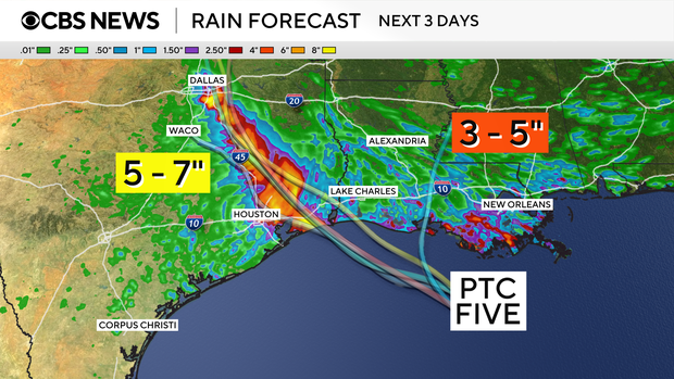
Communities are placed under tropical storm warnings when conditions, including strong winds, rain and flooding, are expected to take shape within the warning area. In this case, tropical storm conditions are likely within 24 to 36 hours, the hurricane center said, with the latest forecast track indicating it could reach the Gulf Coast by Tuesday.
The storm was traveling slowly westward toward the Gulf Coast on Monday, when forecasters pinpointed its location about 130 miles from Morgan City, Louisiana, and 230 miles from Port Arthur, Texas.
It had maximum sustained winds of 35 mph — just below the minimum speed of 39 mph that would officially qualify it as a tropical storm. Forecasters said it was expected to strengthen somewhat over the course of the next day or so.