Published On 8 Jun 2026
An offshore earthquake with a magnitude of 7.8 has struck the southern Philippines, killing at least 35 people and injuring more than 200.
The quake on Monday is the strongest to hit the country this year, according to Teresito Bacolcol, director of the Philippine Institute of Volcanology and Seismology.
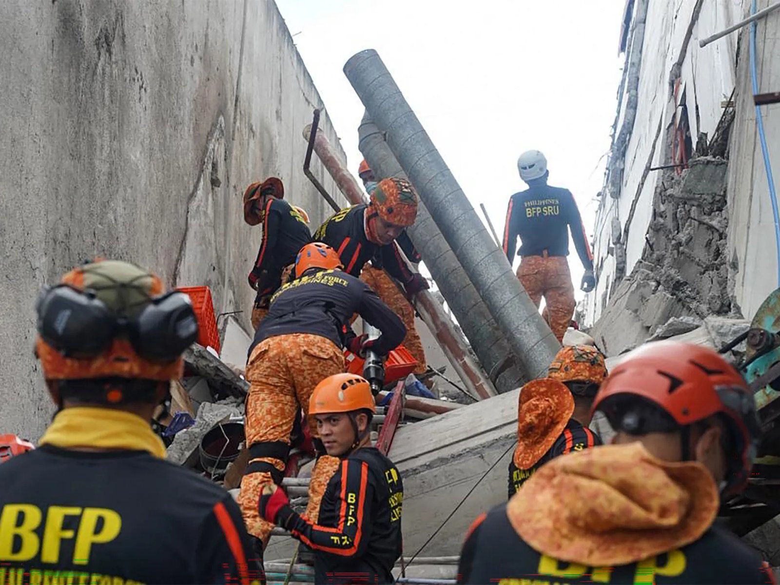
Several low-rise buildings collapsed or sustained heavy damage in the hard-hit city of General Santos.
Tsunami damage was reported in at least one southern coastal village, while smaller waves were recorded in Indonesia, Palau and as far away as southern Japan.
The quake also triggered a landslide in Glan, a municipality in the province of Sarangani, that killed 13 villagers, provincial disaster-mitigation official Rene Punzalan told the DZBB radio network. Four other villagers died in Sarangani, he added.
The United States, an ally of the Philippines, said it was coordinating with Manila and was ready to support Philippine response efforts. France, Japan and New Zealand also expressed support.
The epicentre was offshore near Mindanao, the second most populous island in the Philippine archipelago. Bacolcol said the quake struck at a depth of 33km (20 miles), about 32km (20 miles) southwest of Maasim town in Sarangani province.
President Ferdinand Marcos Jr ordered the cancellation of classes and directed disaster-response agencies to immediately get to work in quake-hit provinces, saying “the national government is moving and we will not leave Mindanao behind”.
The Pacific Tsunami Warning Center said the threat of a tsunami had largely passed about five hours after the quake. Philippine officials also lifted a tsunami warning by mid-afternoon. Six shanties on stilts were damaged in a coastal village in Zamboanga del Sur province due to the quake and higher waves, officials said.
Aside from the Sarangani landslide, most of the other deaths were caused by collapsing buildings and falling debris, including in a damaged mosque, in the southern provinces of South Cotabato and Davao Occidental and on Balut Island, according to disaster-mitigation official Ednar Dayanghirang.
The Philippines frequently experiences earthquakes and volcanic eruptions because it lies on the Pacific “Ring of Fire,” an arc of seismic faults encircling the ocean.