Listen to this article
Estimated 3 minutes
The audio version of this article is generated by AI-based technology. Mispronunciations can occur. We are working with our partners to continually review and improve the results.
Warm weather across British Columbia broke daily temperature records in at least 24 locations over the weekend, with several spiking above 30 C.
Environment Canada says among the highest was Pemberton with 32 C on Sunday, displacing a record of 31.1 C set almost 70 years ago.
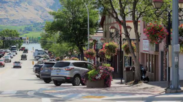
Other parts of the B.C. Interior, including Osoyoos, Lillooet and Cache Creek, also saw temperatures push past 30 C on Sunday.
Squamish in the Sea-to-Sky region north of Metro Vancouver almost joined their ranks with a daily high of 29.9 C.
Victoria’s harbourfront got to nearly 27 C, breaking the record of 25 C set more than a century ago, in 1898.
Temperatures in Bella Bella hit 26.1 C on Sunday — shattering a record of 18 C set on the same day.

A historic March heat wave effectively erased a month of winter, triggering a massive snow drought from the southwest U.S. up to parts of British Columbia. CBC’s Johanna Wagstaffe looks at what this means for the summer water supply and wildfire risk for hundreds of communities that rely on a slow snowmelt.
Environment Canada meteorologist Bobby Sekhon said a ridge of high pressure from the Pacific Ocean brought temperatures to much of southwestern B.C. — including Metro Vancouver and the Fraser Valley — that are “quite exceptional” for early May.
“We are looking at temperatures of five to 10 degrees above normal, generally, and over into the Fraser Valley, places like Abbotsford, we’re forecasting 13 degrees above normal,” he said on Monday, in the midst of what he called “the last very hot day.”

Amid mounting summer drought concerns, Metro Vancouver is banning all lawn watering as of May 1. As the CBC’s Troy Charles reports, the regional district says this year, for the first time ever, it is taking the unusual step of starting restrictions at the Stage 2 level.
Sekhon said the weather will slowly cool down over the next several days, with temperatures getting closer to normal by Friday only to warm up again.
“Once we get into the weekend, we’re going to expect to see the ridge of high pressure kind of build in again … we’ll see a bit of a boost in temperatures this weekend,” Sekhon said.
“But maybe not quite as hot as what we’ve seen yesterday and today,” he said on Monday.

The beginning of wildfire season has put communities in Alberta and B.C. on alert, but officials say it’s still too early to predict how severe this fire season will be.
The B.C. River Forecast Centre issued a high streamflow advisory for areas of the northern Interior on Monday, warning that the high temperatures mean snowmelt rates are expected to accelerate and remain elevated through mid-week.
The B.C. Wildfire Service says it’s expecting above seasonal temperatures into this week and warns that could increase the likelihood of new wildfire starts.
There are just under 30 active wildfires in B.C. as of late Monday afternoon, with roughly 10 started within the last 24 hours.