Listen to this article
Estimated 3 minutes
The audio version of this article is generated by AI-based technology. Mispronunciations can occur. We are working with our partners to continually review and improve the results.
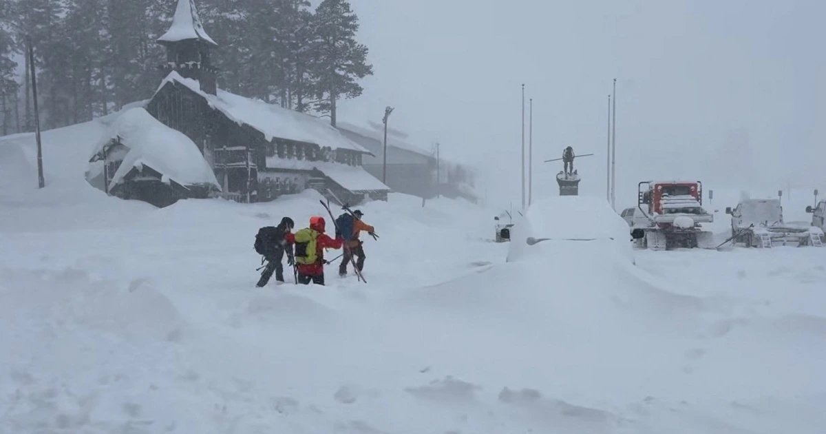
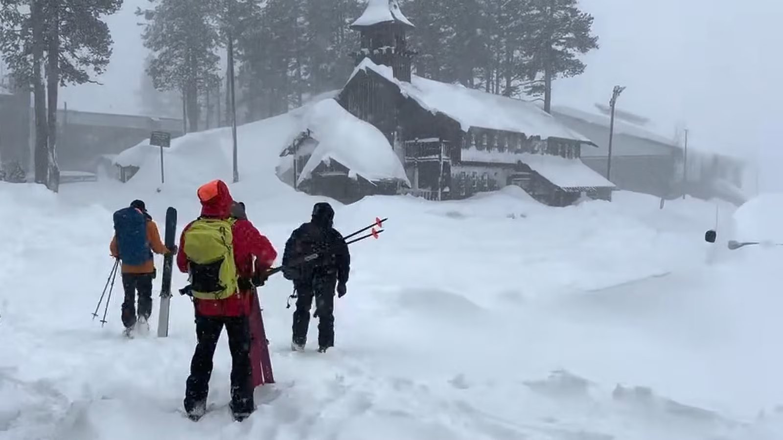
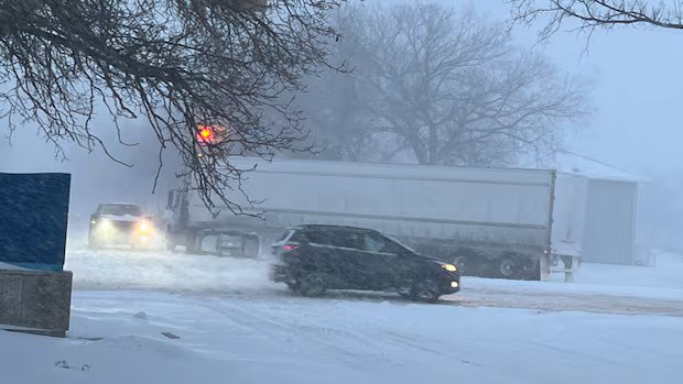
The massive winter storm coming out of Alberta is now in full swing across Saskatchewan, and snowfall totals are expected to reach over a foot deep in some areas.
The low pressure system piling up snow is bringing powerful winds and low temperatures with it, with 70-80 km/h gusts. That will make it feel lower than –40 C along the central part of the Alberta-Saskatchewan border.
Chris Stammers, a meteorologist with Environment and Climate Change Canada, said more snow is coming, but the majority has passed.
“This isn’t really your classic Alberta clipper. It’s more of what we call a Montana low,” said Stammers. “These are notorious heavy snowfall producers. They’re very slow-moving, so they give prolonged periods of snow. So there will be snow falling much of today through the province and things will linger even longer in Manitoba through Thursday.”
Stammers reported that around 6 a.m. CST on Wednesday, snowfall totals in the areas of Meadow Lake and the Battlefords reached about 20 cm, with another 20 cm possibly still to fall.

Environment and Climate Change Canada says some parts of the province can expect up to 40 centimetres of snow by the storm’s end.
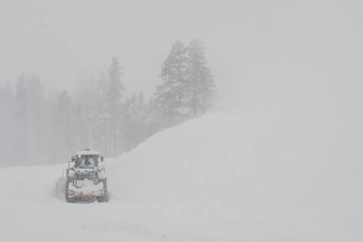
At that point, cities like Regina and Saskatoon had about 12 cm, which seemed to nearly double in the next few hours. The cities’ snow crews announced all hands on deck Tuesday, and clearance has been ongoing.

The snow started in the west central area two nights ago, and the region southeast of Regina saw the inclement weather begin with a bout of freezing rain Tuesday afternoon. What followed was drifting, blowing snow with near-zero visibility on many major highways, triggering warnings of travel not recommended.
“The good news on the wind is it’s going to be dying down through the morning here,” Stammers said. “Very poor travel conditions noticed on the highway map. Basically the eastern half of the province all has travel not recommended this morning.”

Stammers said the cold should lift within the next few days, and regular February temperatures will return, with no melting in sight for at least the next 10 days.
“As we update any warnings … certainly keep an eye on the highway map for the day,” Stammers said. “Definitely if you don’t have to travel, it’s a good day to not.”