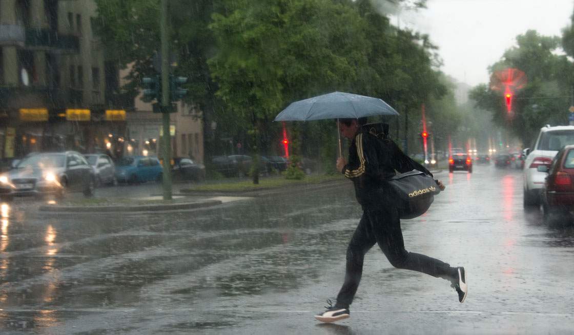
British Columbia’s coastal communities are on high alert as a series of powerful storms prepares to make landfall over the next seven days. Global BC meteorologist Mark Madryga has outlined a detailed forecast indicating that well-defined frontal systems will sweep through all coastal areas, starting with the initial impact expected on Thursday night. This sequence of weather events represents a significant meteorological challenge for the region, requiring coordinated responses from emergency management agencies and local governments.
The geographical scope of the forecast covers the entire coastal strip of the province, from the northern reaches to the southern border with the United States. The frontal systems are characterized by their distinct structure and intensity, promising not just isolated bursts of rain but sustained periods of heavy precipitation and strong winds. This pattern is particularly concerning for low-lying areas and coastal zones that are historically vulnerable to storm surge and flooding. The timing of the first system’s arrival on Thursday night means that many residents will be caught off guard during their evening routines, necessitating immediate preparation and awareness.
In response to the forecast, meteorological services have emphasized the importance of staying informed through official channels. Mark Madryga’s remarks highlight the clarity of the weather patterns, indicating that this is not a vague or uncertain forecast but a well-defined sequence of events. Stakeholders, including local emergency services and transportation authorities, are being urged to review their contingency plans and ensure that resources are allocated effectively to handle potential disruptions. The initial response has been one of cautious readiness, with officials reminding the public to secure outdoor items, check drainage systems, and plan for possible power outages or road closures.
In-Depth Analysis & Key Details
The arrival of such a series of storms in British Columbia is not an isolated event but part of a broader pattern of increasing weather volatility in the Pacific Northwest. Climate change has been linked to more frequent and intense storm systems, as warmer ocean temperatures provide more energy for frontal systems. This historical context underscores the need for long-term infrastructure planning and adaptation strategies. The region has seen a trend of more extreme weather events in recent years, and this storm sequence is a reminder of the ongoing challenges posed by a changing climate.
From a regulatory and economic perspective, the potential impact of these storms on local economies is significant. Coastal industries, including tourism, fishing, and shipping, are particularly vulnerable to such weather disruptions. The cost of repairing infrastructure and managing emergency responses can strain local budgets, especially in smaller communities. There is also a debate about the adequacy of current disaster preparedness plans, with some experts arguing that more investment is needed in resilient infrastructure and early warning systems. The economic consequences of prolonged storm activity can ripple through local supply chains, affecting businesses that rely on consistent weather conditions for operations.
Expert meteorologists note that the well-defined nature of these frontal systems allows for more accurate forecasting, which is crucial for effective emergency management. However, the intensity of the storms and the duration of the weather event pose significant challenges. The convergence of multiple systems can lead to compounding effects, such as increased rainfall totals and sustained high winds, which can exacerbate flooding and wind damage. Understanding the technical intricacies of these weather patterns is essential for developing targeted mitigation strategies and ensuring public safety.
"The convergence of these frontal systems is a clear indicator of the increasing volatility in our regional climate, demanding a robust and adaptive response from both public and private sectors."
Why This Matters & What Lies Ahead
For everyday residents, the impending storm sequence poses direct risks to personal safety, property, and daily routines. Heavy rainfall and high winds can lead to flooding, downed trees, and power outages, disrupting transportation and access to essential services. Communities in coastal areas are particularly at risk, and residents are advised to take proactive steps to protect their homes and prepare for potential emergencies. The financial impact on households can be significant, especially for those who experience property damage or loss of income due to work disruptions.
Looking ahead, the coming week will be a critical period for monitoring the storm’s progression and assessing its impact. Local authorities will likely hold press conferences to provide updates on emergency response efforts and any necessary evacuations. Regulatory bodies may review the effectiveness of current disaster preparedness plans and consider additional measures to enhance resilience. For investors and businesses, the storm sequence could affect supply chains and operational continuity, particularly in industries dependent on coastal access. Monitoring upcoming weather forecasts and official announcements will be essential for making informed decisions and minimizing risks.
Source: Reported by Global News BC · Analyzed & Synthesized by DNB Newsroom


